

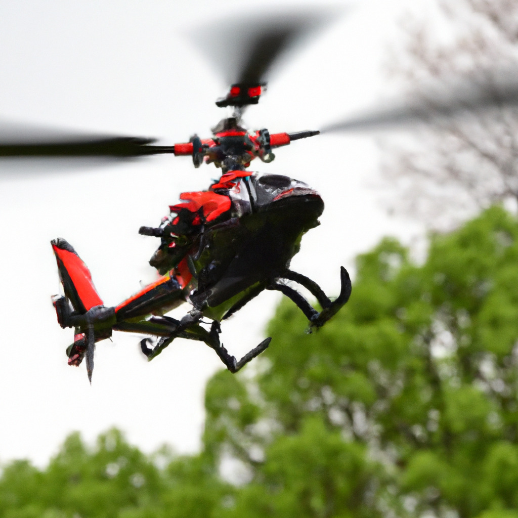
Welcome to the world of RC helicopters, where the thrill of flying meets the precision of technology.
In this comprehensive guide, we will delve into the fascinating realm of GPS and navigation systems for RC helicopters, unlocking a whole new level of control and excitement.
Whether you’re a seasoned pilot or just starting out, understanding how these systems work can greatly enhance your flying experience.
So, fasten your seatbelts and get ready to explore the wonders of GPS and navigation in the world of RC helicopters.
Understanding GPS Technology
To truly appreciate the power of GPS and navigation systems for RC helicopters, it’s important to understand the underlying technology. GPS stands for Global Positioning System, a network of satellites orbiting the Earth that transmit signals to GPS receivers. These receivers, in turn, calculate the precise location, speed, and altitude of the RC helicopter.
The GPS receiver in an RC helicopter communicates with multiple satellites simultaneously, allowing it to triangulate its position accurately. This information is then used by the navigation system to provide real-time data, such as the helicopter’s current location, heading, and distance to a specific waypoint.
One of the key advantages of GPS technology is its ability to provide autonomous flight capabilities. With a GPS-enabled RC helicopter, you can program a flight path and let the navigation system take control. This opens up a whole new world of possibilities, from capturing stunning aerial photographs to executing complex aerial maneuvers.
GPS technology also enables features like Return-to-Home (RTH) and Geofencing. RTH allows the helicopter to automatically return to its takeoff point if it loses signal or encounters low battery. Geofencing, on the other hand, allows you to set virtual boundaries for your helicopter’s flight, ensuring it stays within a predefined area.
With GPS and navigation systems, you can take your RC helicopter flying to new heights, quite literally. The precision and accuracy offered by these systems not only enhance the flying experience but also provide a greater level of safety and control.

Choosing the Right GPS and Navigation System
Now that you understand the basics of GPS technology for RC helicopters, let’s explore how to choose the right GPS and navigation system for your needs.
The first factor to consider is the type of RC helicopter you own. Different models may have specific requirements or compatibility limitations when it comes to GPS systems. It’s essential to check the manufacturer’s guidelines or consult with experts in the field to ensure compatibility.
Next, consider the features you desire in a GPS and navigation system. Some systems offer advanced features like waypoint navigation, altitude hold, and even follow-me mode, where the helicopter tracks your movements. Evaluate your flying style and goals to determine which features are essential for you.
Another crucial aspect is the level of accuracy and reliability you require. Higher-end GPS systems tend to offer greater precision and stability, which is particularly important for professional aerial photography or videography. However, if you’re a casual flyer, a more budget-friendly option may suffice.
Battery life is another critical consideration. GPS systems consume power, so it’s important to choose a system that balances functionality with battery efficiency. Look for systems that offer a good balance between performance and battery life to ensure longer flight times.
Lastly, don’t forget to consider the ease of installation and user-friendliness of the system. Some GPS systems require complex wiring and setup, while others offer plug-and-play functionality. Choose a system that aligns with your technical expertise and comfort level.
By considering these factors and doing thorough research, you can select the right GPS and navigation system that suits your RC helicopter and flying preferences. Remember, investing in a quality system will enhance your flying experience and unlock a world of possibilities.
Tips for Using GPS and Navigation Systems
Now that you have chosen and installed your GPS and navigation system, let’s explore some tips for maximizing its potential and ensuring a smooth flying experience.
1. Familiarize Yourself with the User Manual: Take the time to thoroughly read and understand the user manual provided with your GPS system. This will help you navigate through the various settings and features, ensuring you make the most out of your system.
2. Calibrate the Compass: Before each flight, it’s crucial to calibrate the compass on your RC helicopter. This ensures accurate heading information and prevents any interference from affecting the GPS signals. Follow the manufacturer’s instructions for compass calibration.
3. Set Up Waypoints: Take advantage of the waypoint navigation feature offered by your GPS system. Set up waypoints on a map or satellite imagery to create a predefined flight path. This is particularly useful for capturing specific aerial shots or exploring new areas.
4. Test Return-to-Home (RTH) Functionality: Before relying on the RTH feature, it’s essential to test it in a controlled environment. Fly your RC helicopter to a safe distance and activate the RTH function to ensure it returns accurately to the designated home point.
5. Monitor GPS Signal Strength: Keep an eye on the GPS signal strength indicator on your transmitter or mobile device. A weak signal can affect the accuracy and stability of your helicopter’s position. Avoid flying in areas with poor GPS reception.
6. Plan for Battery Life: GPS systems consume power, so it’s important to factor in their impact on your RC helicopter’s battery life. Plan your flights accordingly, ensuring you have enough battery power to safely return home or complete your mission.
7. Stay Updated with Firmware Updates: Manufacturers often release firmware updates to improve the performance and functionality of GPS systems. Stay informed about these updates and regularly update your system to benefit from the latest enhancements.
8. Practice Safe Flying: While GPS and navigation systems provide advanced capabilities, it’s important to remember that they are aids, not substitutes for responsible flying. Always adhere to local regulations, maintain visual line of sight, and fly in a safe and controlled manner.
By following these tips, you can make the most out of your GPS and navigation system, enhancing your flying experience and unlocking new possibilities with your RC helicopter.
In conclusion, GPS and navigation systems have revolutionized the world of RC helicopters, offering unprecedented control, precision, and autonomy. These systems have opened up a whole new realm of possibilities for pilots, from capturing breathtaking aerial photographs to executing complex flight maneuvers.
With GPS technology, pilots can program flight paths, set waypoints, and even enjoy features like Return-to-Home and Geofencing, ensuring a safe and enjoyable flying experience. The accuracy and reliability of GPS systems provide peace of mind, allowing pilots to focus on the thrill of flying without worrying about losing their helicopter or flying out of bounds.
Choosing the right GPS and navigation system is crucial, considering factors such as compatibility, desired features, accuracy, battery life, and ease of installation. By doing thorough research and selecting a system that aligns with your needs and preferences, you can unlock the full potential of your RC helicopter.
Once you have your GPS system installed, it’s important to familiarize yourself with the user manual, calibrate the compass before each flight, and take advantage of features like waypoint navigation. Testing the Return-to-Home functionality and monitoring GPS signal strength are essential for a smooth and safe flying experience.
Remember to plan for battery life and stay updated with firmware updates to ensure optimal performance. And above all, practice safe flying by adhering to local regulations, maintaining visual line of sight, and flying in a responsible manner.
So, whether you’re a hobbyist looking to explore the skies or a professional aerial photographer seeking precision and control, GPS and navigation systems for RC helicopters are a game-changer. Embrace the power of technology and take your flying adventures to new heights!
Are you ready to elevate your RC helicopter flying experience with the wonders of GPS and navigation systems?
If you’re intrigued by the world of RC helicopters and want to dive deeper into this exciting hobby, check out our comprehensive guides, from choosing the right helicopter to mastering flight techniques.


